What a walking district is
A walking round does not begin where the unit office is. Staff travel by public transport to a start point — usually a metro or commuter-rail station — and then work on foot in a tight area around it. At the end of the shift they travel back.
Two things are required, and both must be true. The district needs a start point with coordinates — there is no separate on/off switch, and without coordinates there is nothing to route from. AND the employee must have transport mode **Walking** and belong to that district. Set only the coordinates and the caregiver is still planned from the office like any driving colleague, with no error to tell you. Transport mode is set on the employee.
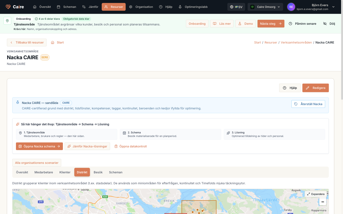
District
A local area inside the unit for geographic matching.
| Field | Level | Why it matters | Used for |
|---|---|---|---|
| Coverage area | Better metrics | Describes the district's geographic boundary. | Route fit and local bottlenecks. |
| Client coverage | Better metrics | Shows demand in the district. | Supply-demand and continuity. |
| Employee coverage | Better metrics | Shows local capacity. | Capacity gaps and replacement suggestions. |
Start point, radius, and commute
The start point is where the round begins and ends, and where breaks are measured from. The radius is a hard bound on how far a walking caregiver may be sent — it bounds the caregiver, not the client. Clients inside the radius stay open to every transport mode, which is what a unit needs when covering sickness.
The commute to and from the start point is paid time that cannot hold visits. Caire reserves it at each end of the shift, together with the longest permitted walk — otherwise the route would look like it starts at the anchor while the caregiver is still walking to the first visit.
What to know about the travel times
Walking time is currently derived from a car matrix with an adjustment factor, not from a pedestrian street network. On very short legs the result is slightly generous, and on longer legs slightly optimistic. In a dense district, where most legs are under a hundred metres, it lands close to reality — but treat displayed walking travel as an estimate until a real walking network is in place.